
Map design · 9 minute read
How to Turn a Real City Map Into a Game Map
Use roads as routes, rivers as boundaries, bridges as connections, and visual hierarchy to turn a real city map into a clear game-map reference.
01 · Routes
Treat the street network as movement, not decoration.
A real city map contains far more roads than a player can understand at once. Begin by assigning a role to each class. Motorways can become fast traversal routes. Primary roads can connect districts. Secondary streets can provide alternate paths, while the smallest roads create texture and local choices only where the game needs them.
This does not mean copying traffic rules into a level. It means reading the existing city as a network. Look for loops, long corridors, dead ends, and places where several routes converge. Those patterns can suggest mission paths or boundaries before any fictional mechanics are added.
02 · Boundaries
Let water and terrain divide the playable space.
Rivers, bays, coastlines, parks, rail yards, and steep ground naturally separate one area from another. In a game-map reference, these large features can do work that would otherwise require an artificial wall. They also make districts easier to remember because each area gains an edge and a relationship to the rest of the city.
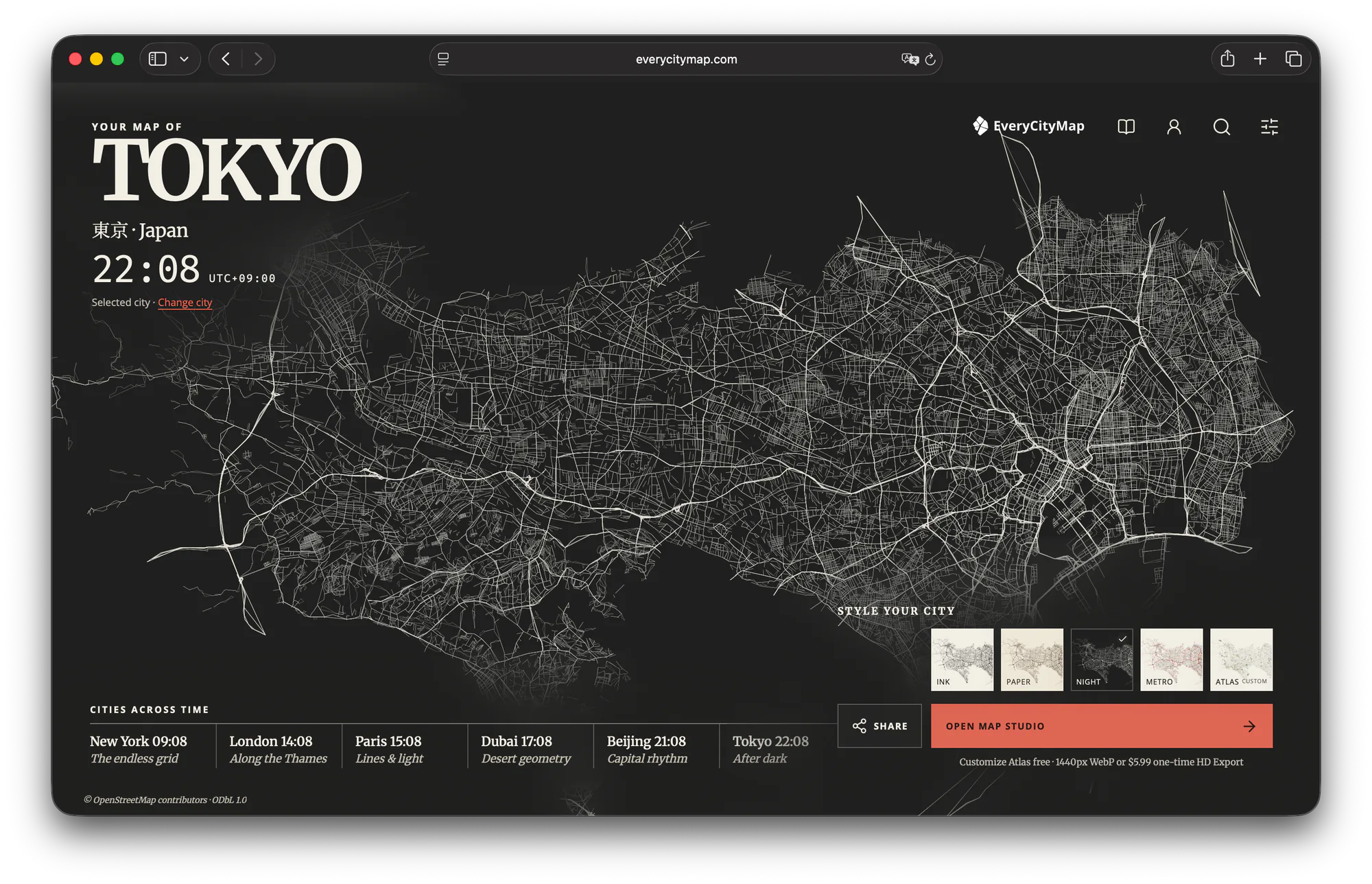
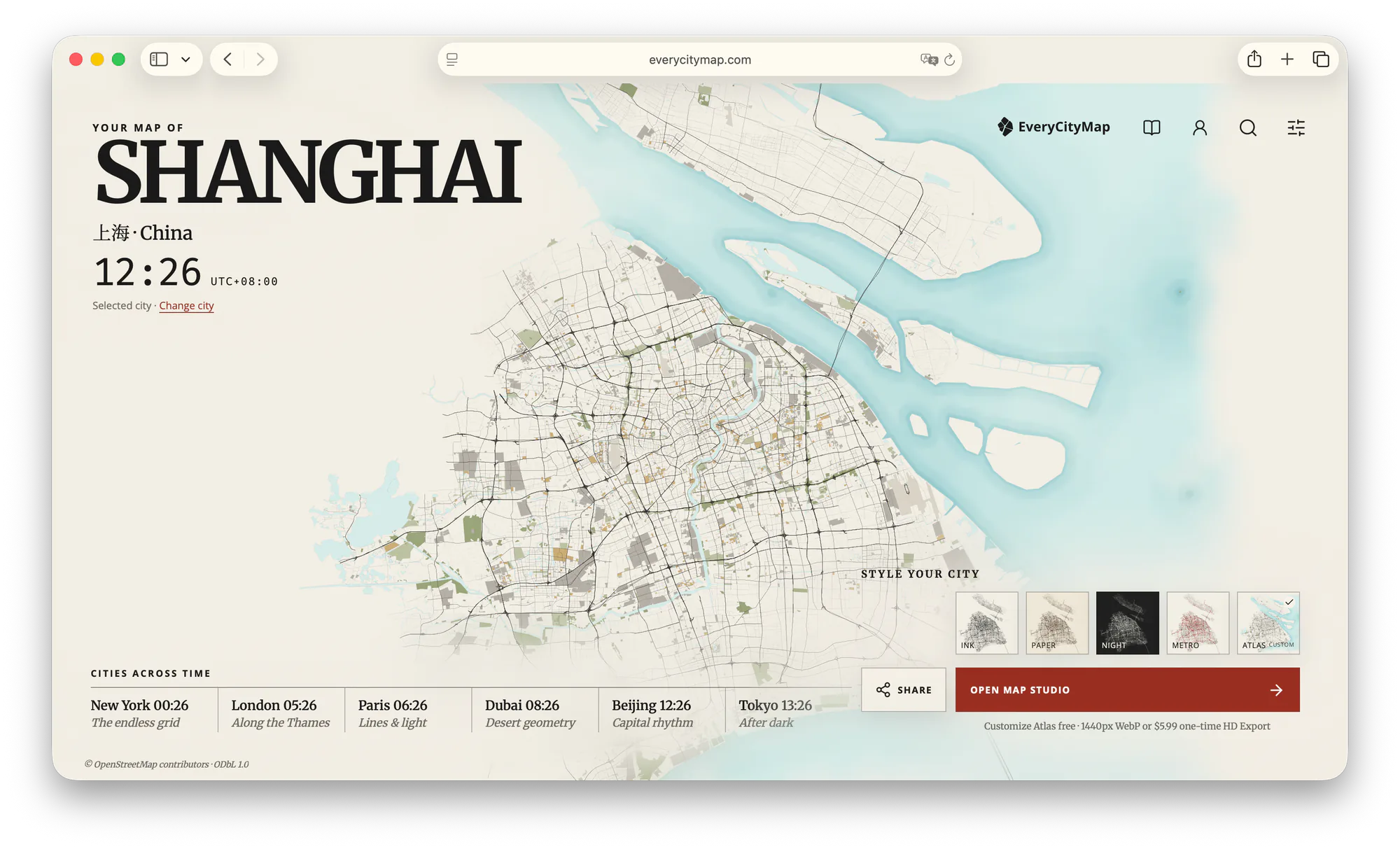
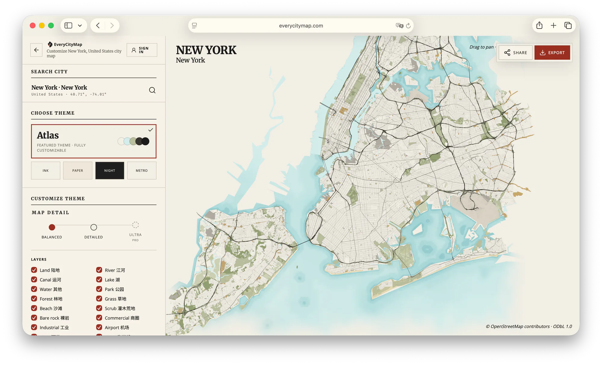
Shanghai is the clearest example: the Huangpu separates Puxi and Pudong, and a limited set of crossings connects the two sides. New York goes further, using rivers, harbor, and islands to produce several distinct land areas. Tokyo's bay and eastern river system offer a different pattern: a dense continuous city interrupted by long bands of water.
03 · Connections
Bridges and junctions create meaningful choices.
A boundary becomes useful when the map shows how it can be crossed. Bridges, tunnels, stations, interchanges, and major intersections are natural connection points. They can become chokepoints, shortcuts, objectives, or visual landmarks without inventing a new geography.
Count these connections before styling them. If every crossing is equally strong, the boundary loses meaning. If too few remain visible, areas feel disconnected. A useful reference image usually emphasizes a small number of main connections and keeps the rest available as quieter alternatives.
04 · Hierarchy
Remove detail until the structure becomes obvious.
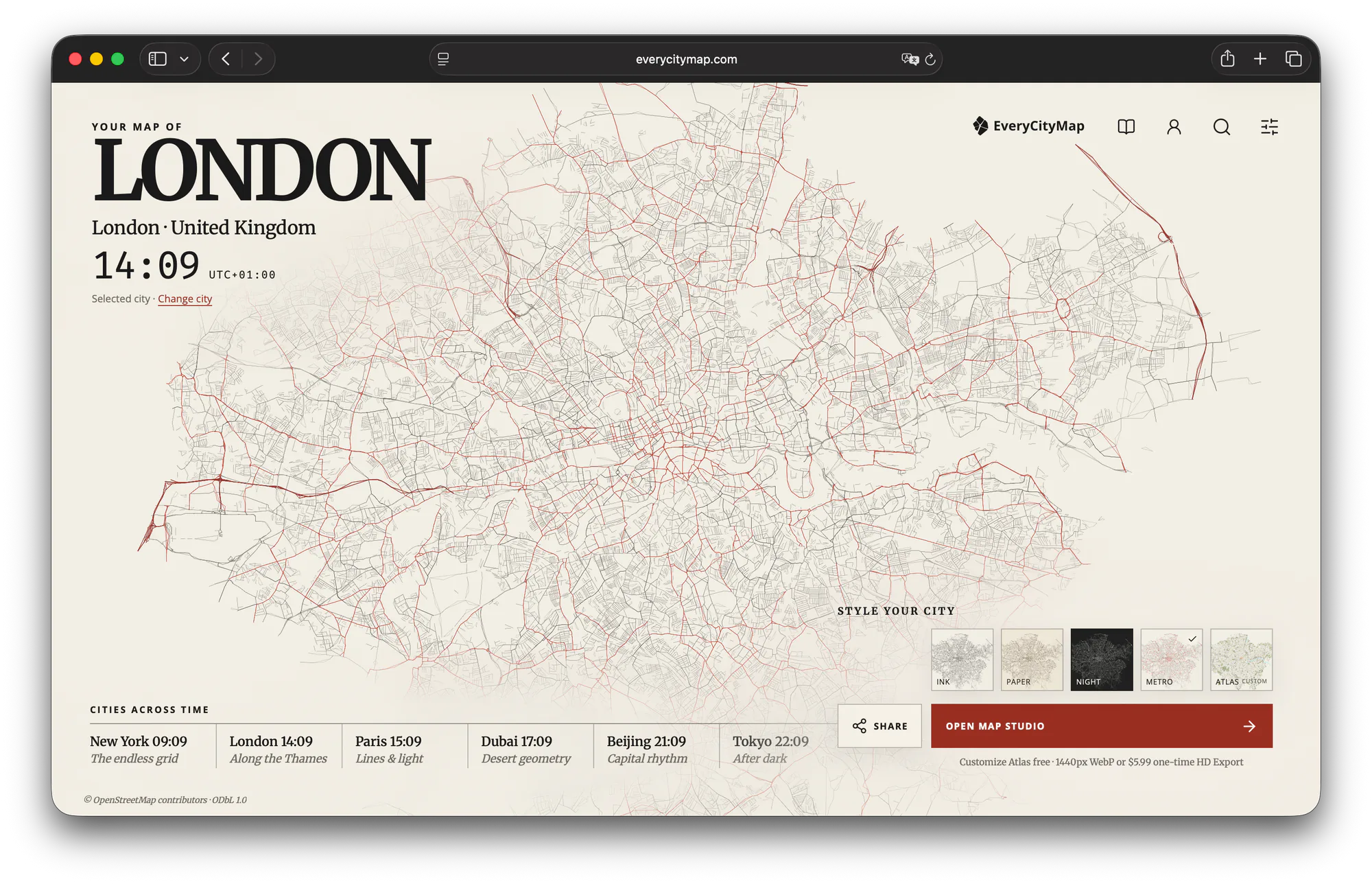
More geographic data does not automatically make a better game map. The reference should explain the city at the size where designers or players will actually see it. Build from the largest areas toward the smallest, and stop when another layer no longer changes the decisions the map supports.
- Large boundariesKeep the coastline, river, or largest park visible before adding street detail.
- Primary routesChoose the roads and rail lines that explain movement between major areas.
- Local networkAdd selected local streets only where they create useful choices or texture.
- LabelsUse a few names to orient the viewer; a level reference is not a navigation app.
05 · Three readings
The same method produces different city logic.
In Shanghai, start with the Huangpu as the central boundary and use crossings to connect two contrasting banks. In New York, preserve the island and harbor structure, then let Manhattan's grid carry a different visual rhythm from the other boroughs. In Tokyo, reduce a huge overlapping network until the bay, rivers, and main movement corridors remain legible.
These readings are not fixed level designs. They are starting hypotheses. Change the crop, theme, and visible layers to test another interpretation, then compare the result at the final display size instead of judging it only while zoomed into the editor.
06 · Output
Know what the exported map is—and is not.
EveryCityMap creates a styled raster image for reference, presentation, mood boards, and visual planning. It does not export a navmesh, vector road graph, 3D world, or game-ready asset. That boundary is useful: make the geographic idea clear here, then rebuild only the required routes and spaces in the engine or level-design tool used by the project.
If the goal is a poster, social image, or slide rather than a game reference, use the custom city map workflow. The same hierarchy principles apply, but the destination determines which details deserve to stay.
Choose a city map as a reference for your game.