Island system
Water separates boroughs instead of merely framing them.
 Account
United States · North America
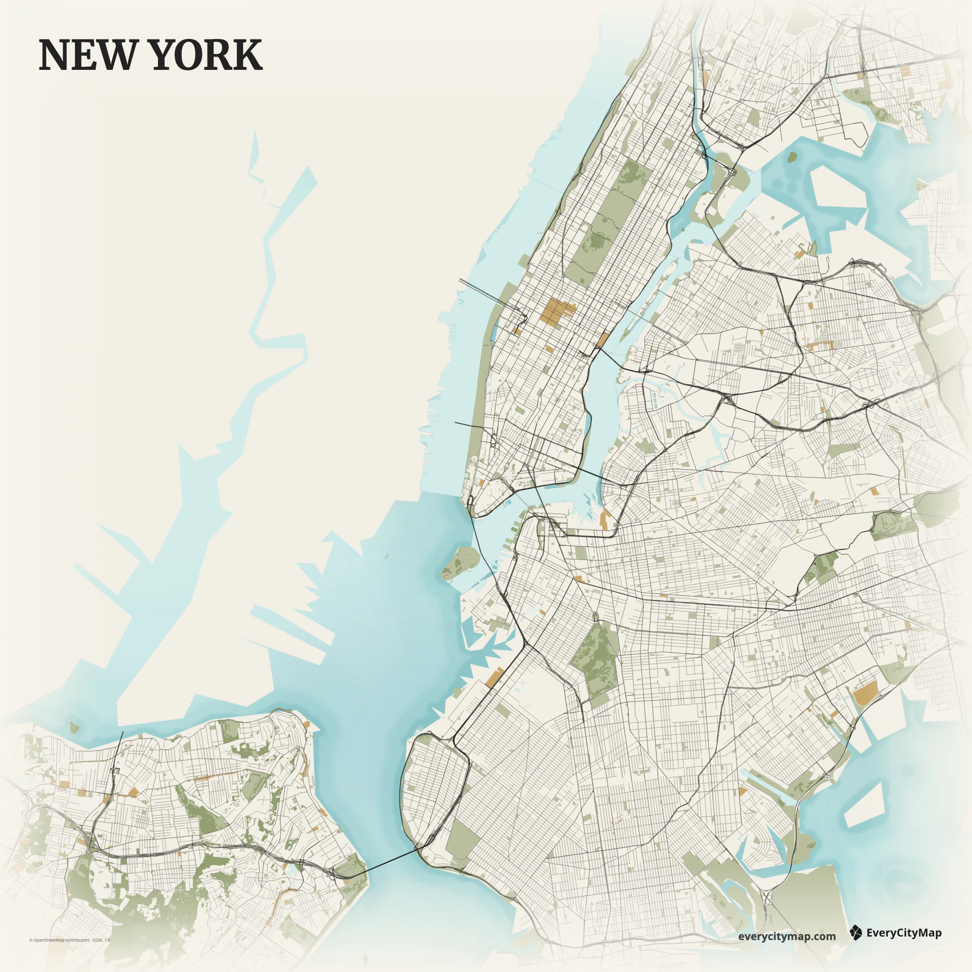
A custom New York map is a composition of islands, waterways, and five boroughs rather than one continuous street grid. Manhattan is the immediate visual anchor, but the map becomes distinctly New York when the Hudson, East River, harbor, Brooklyn, Queens, the Bronx, and Staten Island remain part of the frame.
Free to style and share · no account required
Three decisions that make this city recognizable before a label is added.
Water separates boroughs instead of merely framing them.
Manhattan contrasts with broader outer-borough networks.
The open southern edge keeps the five-borough shape legible.
Start with geography, then decide how much street detail the image can hold.
Manhattan's long grid creates a strong north-south direction between the Hudson and East River. Across the water, Brooklyn and Queens spread into broader and less uniform street patterns. Use that contrast instead of assigning every road the same weight: the grid should be visible without becoming a solid block of lines.
Bridges and tunnels connect a fragmented geography. Their approach roads form useful visual seams, while New York Harbor opens the dense city toward the Atlantic. Preserving water around the islands prevents the boroughs from merging into one dark mass and keeps the overall shape understandable at small sizes.
Metro highlights major routes and connections across the boroughs. Night suits the city's dense texture, especially for screen use, while Atlas gives more control over water and road classes. Begin with the harbor and river contrast, then strengthen only the roads needed to explain the larger network.
Use a full-city frame for a borough comparison, or make Manhattan the center of a more personal travel map while keeping part of Brooklyn and Queens for context. New York also works well as a game-map reference because waterways create boundaries and the crossings naturally suggest a limited set of routes.