Bay edge
Tokyo Bay grounds an otherwise vast road network.
 Account
Japan · Asia
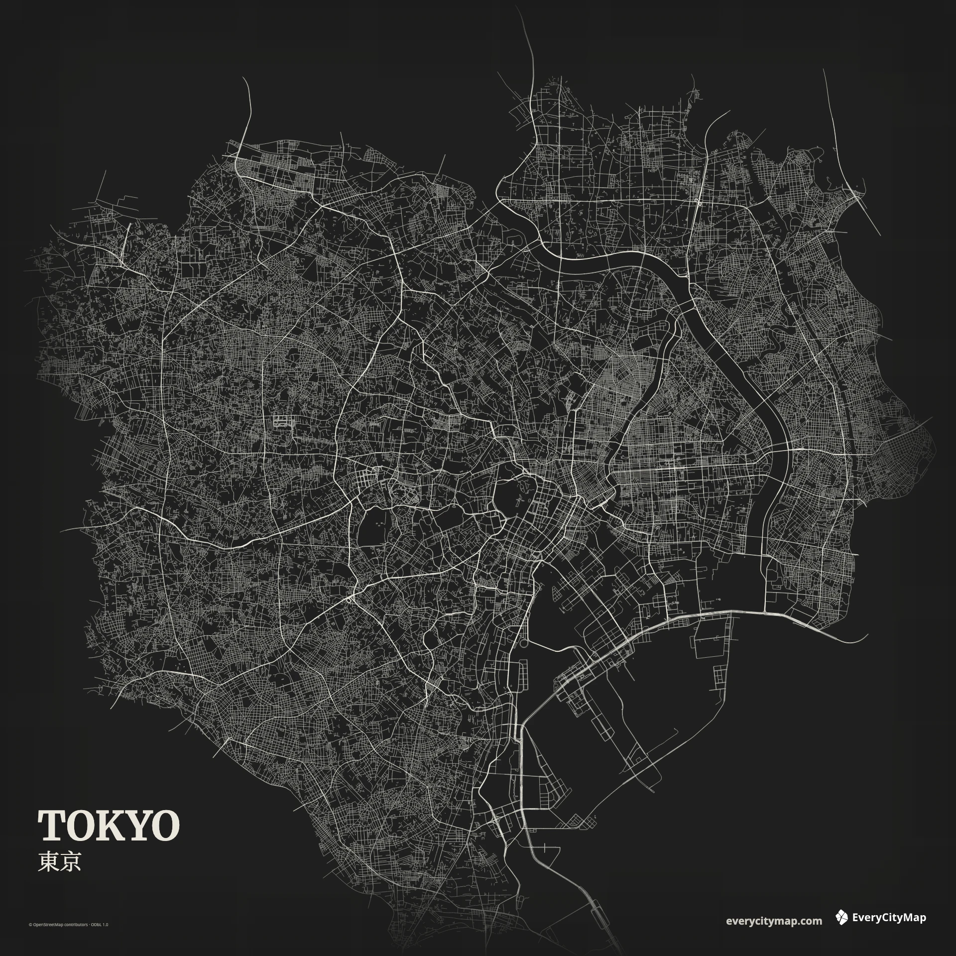
A custom Tokyo map gains its identity from the meeting of a vast urban network and Tokyo Bay. The eastern lowlands are crossed by the Sumida, Arakawa, and smaller waterways, while the central and western districts build a dense web of roads and rail corridors. The coastline keeps that complexity grounded.
Free to style and share · no account required
Three decisions that make this city recognizable before a label is added.
Tokyo Bay grounds an otherwise vast road network.
Rings, radials, rail corridors, and local streets overlap.
Rivers and engineered coast break the urban field.
Start with geography, then decide how much street detail the image can hold.
Tokyo does not resolve into a single grid. Curving routes, ring roads, rail alignments, rivers, and neighborhood streets overlap at different scales. A successful map shows those layers in order. Start with the bay and major rivers, add the strongest movement corridors, and let local streets provide texture rather than structure.
The waterfront includes reclaimed and engineered land, producing a sharper, more geometric edge than many inland districts. Farther north and east, rivers divide the lowland city into long bands. Keeping those breaks visible prevents the road network from reading as one continuous field.
Night turns Tokyo's density into luminous texture, and Metro gives major movement corridors more separation from local streets. Choose Atlas when rivers, canals, and the bay need a custom hierarchy. At social-image size, fewer visible minor roads usually make Tokyo feel more detailed, not less.
Tokyo is a strong choice for a dark wallpaper, an urban systems graphic, or a game-map study. A wide frame shows the bay relationship; a closer central frame emphasizes network density. Before exporting, test the image at its real display size so that waterways remain visible between the road and rail patterns.