River split
The Huangpu creates two distinct urban textures.
 Account
China · Asia
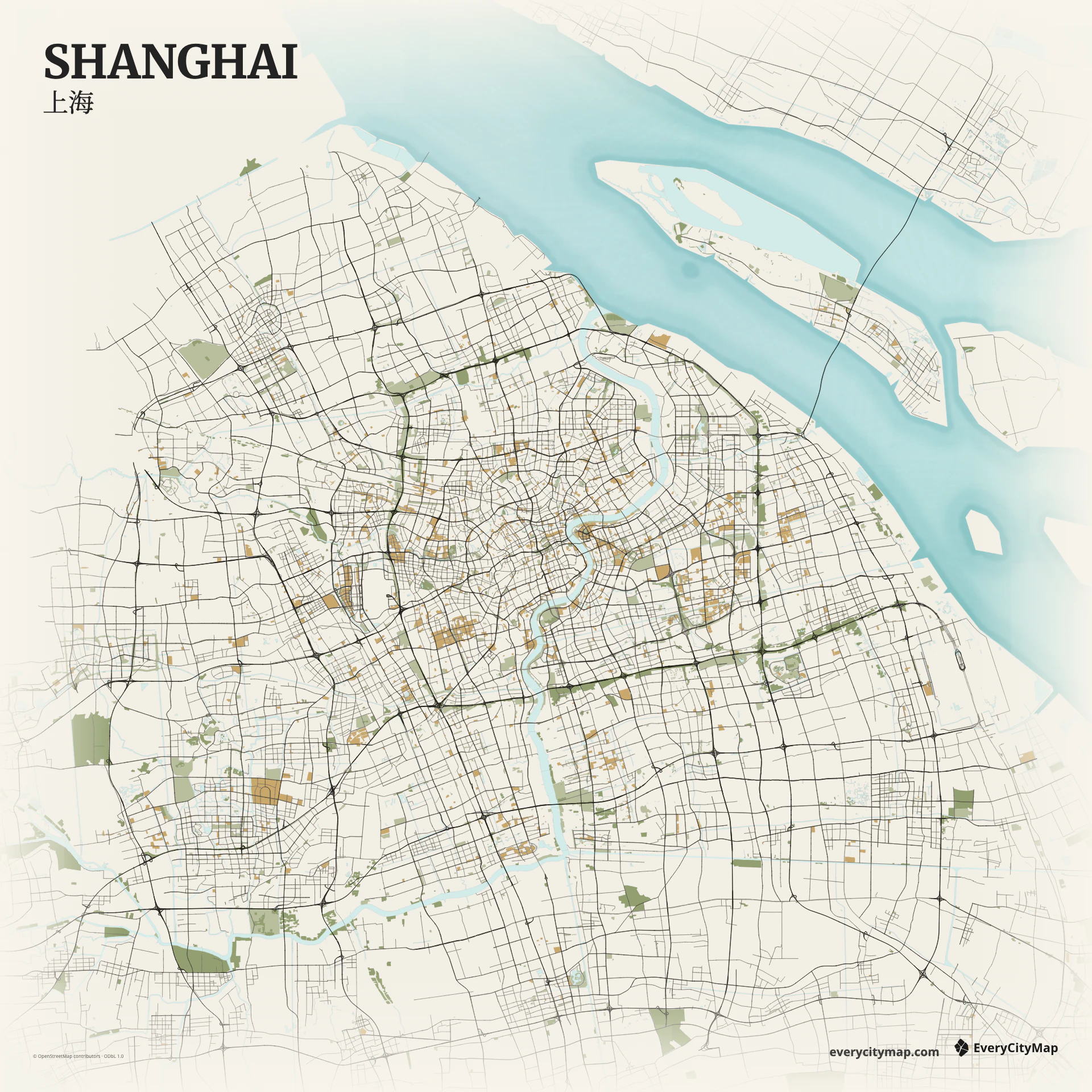
A custom Shanghai map is shaped by water before it is shaped by streets. The Huangpu River separates Pudong from Puxi, while Suzhou Creek joins it near the Bund. Keeping those waterways legible gives the map a clear east-west relationship and makes the central city recognizable at a glance.
Free to style and share · no account required
Three decisions that make this city recognizable before a label is added.
The Huangpu creates two distinct urban textures.
Puxi is finer-grained; Pudong opens into larger blocks.
Water remains recognizable after roads are simplified.
Start with geography, then decide how much street detail the image can hold.
Puxi has a dense, fine-grained street texture, with larger roads cutting through older blocks. Pudong opens into wider arterial patterns and the riverfront. The contrast is more useful than any single landmark: let the river divide the composition, then use road weight to reveal the different scales on each bank.
The Huangpu bends through the frame rather than running as a straight border. Bridges, tunnels, and approach roads create a small number of strong cross-river connections. Suzhou Creek adds a second, narrower line of water through the northern part of the center, which rewards a map with more than one water hierarchy.
Start with Atlas when the Huangpu and Suzhou Creek need separate visual weight. Paper works well for a quiet travel memory, while Night turns the dense road network into a strong social image. In every theme, reduce minor roads before weakening the river: the water is the organizing line of the city.
Shanghai works especially well as a travel keepsake, a presentation cover, or a city comparison image. A wide crop can hold both banks; a tighter crop can emphasize the Bund, Lujiazui, and the central crossings. Export only after checking that the river still reads clearly at the final image size.