
Watercolor city maps · London
How to Make a Watercolor Map of London
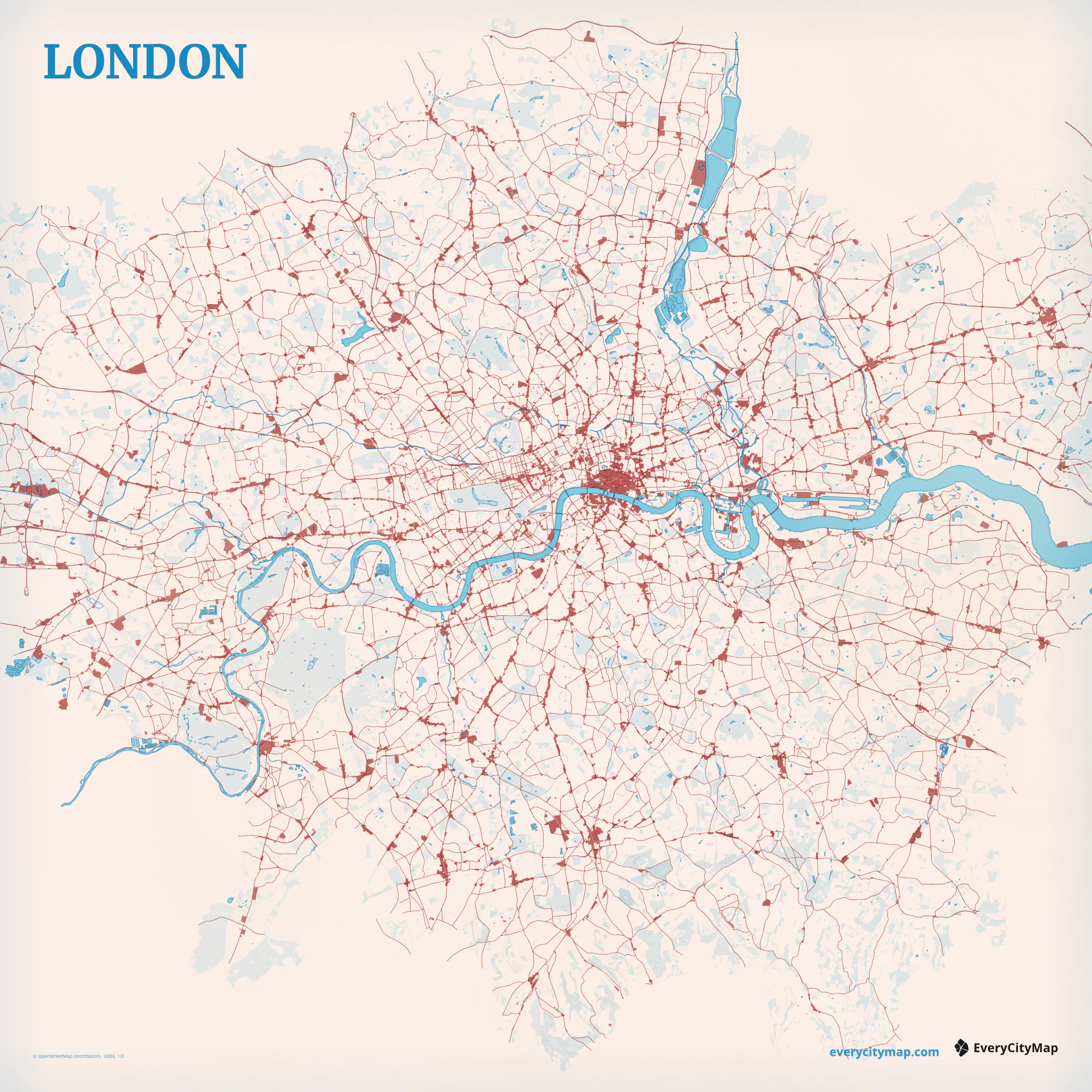
Watercolor Atlas is a new EveryCityMap theme for turning real city geometry into a layered, paper-textured image. London is a useful place to explain it: the Thames gives the composition one unmistakable line, while parks, canals, and irregular streets add detail without requiring landmark illustrations.
01 · Composition
Let the Thames hold the watercolor map together.
A London watercolor map can become busy very quickly. Central London has no single street grid, so local roads change direction and density from one neighborhood to the next. The Thames solves that compositional problem. Keep enough of its bends in the frame and the city remains recognizable even when individual roads are softened.
Start with water, not color. The Thames should remain stronger than canals and reservoirs, while parks create pauses in the street texture. This hierarchy gives the watercolor wash room to breathe and stops the result from becoming a uniformly noisy blue-and-gray field.
02 · Material
Use watercolor texture without sacrificing the map.
Watercolor Atlas does not place a generic texture over a finished screenshot. It renders land and water as separate surfaces, adds deterministic pigment variation and paper grain, then keeps the road hierarchy legible above those surfaces. The same London composition therefore produces a stable export instead of a different random image on every render.
The theme begins with a curated cold-press paper texture and blue-green water palette. You can still edit surface colors, road classes, labels, visible layers, city-name placement, and detail. The material recipe creates the atmosphere; the map controls decide what the viewer can actually read.
03 · Workflow
Build the London map in four decisions.
- 01Choose the frame
Use 1:1 for a city portrait, 4:5 or 2:3 for a poster, and 16:9 when the Thames should travel across a wide composition.
- 02Set the street hierarchy
Keep primary roads visible, then reduce minor-road weight until the river and parks recover enough open space.
- 03Separate the water layers
Let the Thames lead. Canals and smaller water bodies can support it without using the same visual strength.
- 04Check the final size
Preview the map at the size where it will be posted or printed before adding more detail.
Open London in Watercolor, or check a print size.