River divide
The Han separates the city into clear north and south halves.
 Account
South Korea · Asia
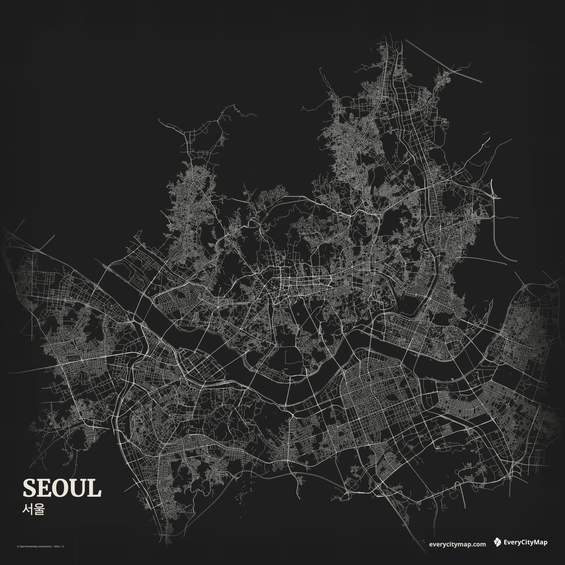
A Seoul map is organized by the Han River, but the city's identity also depends on mountains and streams repeatedly interrupting dense urban districts. Bridges create a limited set of strong cross-river connections, while roads adapt to topography rather than forming one continuous grid.
Free to style and share · no account required
Three decisions that make this city recognizable before a label is added.
The Han separates the city into clear north and south halves.
Mountains and streams bend and cluster the network.
Bridges form a limited set of strong connections.
Start with geography, then decide how much street detail the image can hold.
The Han is broad enough to divide the composition into clear northern and southern halves. Its islands, banks, and bridge approaches create a rhythm through the center. Preserve the full water width before adding small roads; otherwise the river can shrink into another line within a very dense network.
Mountain areas and river corridors make the street texture cluster and bend. Larger routes often follow valleys or connect around those interruptions. Green and relief-related layers therefore explain the road geometry rather than merely decorating it. A good map leaves those gaps visible.
Atlas gives the Han, streams, roads, and green areas distinct roles. Night turns bridge and road connections into a high-contrast screen image, while Watercolor Atlas emphasizes the broad river. Keep mountain gaps darker or quieter than built-up areas so topography remains legible even without a terrain layer.
Use Seoul for a dark wallpaper, a river-city comparison, or an urban geography graphic. A wide frame follows the Han and its crossings; a square frame balances both banks. Before export, check whether bridge approaches remain distinct from the surrounding road density.