Whole island
City and national geography fit within one clear frame.
 Account
Singapore · Asia
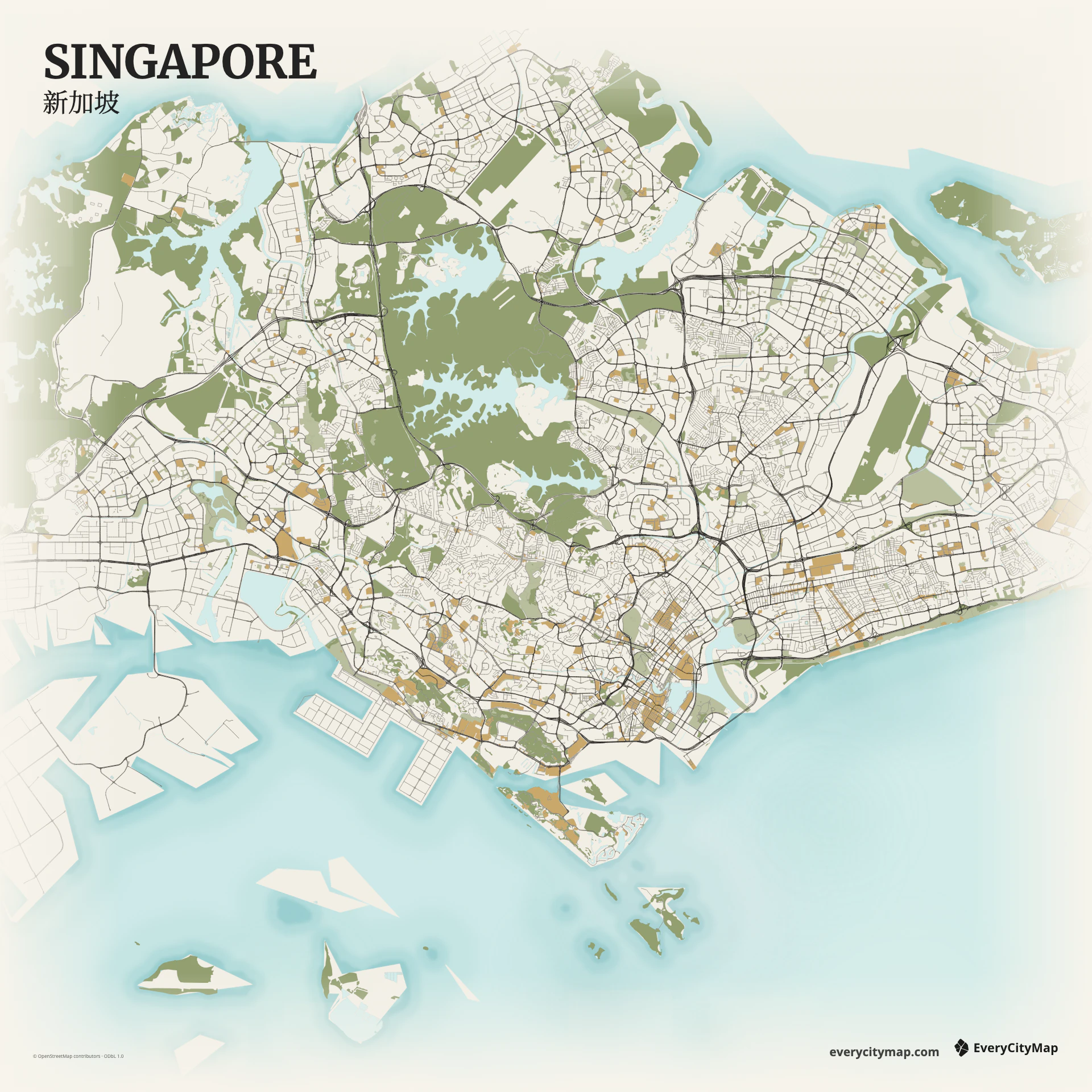
A Singapore map combines a compact island silhouette with reservoirs, engineered coastline, expressways, dense central districts, and large green areas. Because the national and city scales overlap, a single frame can show both complete geography and detailed urban structure more clearly than in most large cities.
Free to style and share · no account required
Three decisions that make this city recognizable before a label is added.
City and national geography fit within one clear frame.
Expressways connect smaller town-based networks.
Sea, reservoirs, and engineered coast work at several scales.
Start with geography, then decide how much street detail the image can hold.
The road network is hierarchical: expressways curve across the island, major roads connect town centers, and local streets create smaller clusters. Showing those levels separately reveals the planned structure. If every road has the same weight, the island outline and reservoirs disappear beneath a continuous mesh.
Water appears at several scales, from the Singapore Strait and port edge to Marina Bay, reservoirs, and narrow channels. Reclaimed land creates sharp geometric coastlines beside more organic water edges. Preserve that difference; it is one of the most informative parts of the full-island map.
Atlas is the clearest way to separate sea, reservoirs, parks, and road classes. Watercolor Atlas makes the island-water relationship more expressive, while Night produces a strong wallpaper. Keep the whole island visible for geographic clarity, or crop deliberately around Marina Bay if the goal is a central-city composition.
Singapore works as a full-island poster, a green-city graphic, or a travel memory centered on the southern waterfront. Landscape framing naturally holds the island silhouette. For small social images, simplify local roads while retaining expressways, reservoirs, and the port edge.