Many centers
No single grid dominates the broad urban field.
 Account
Germany · Europe
A Berlin map combines a broad, polycentric street network with the Spree, canals, rail corridors, large parks, and lakes toward the edges. There is no single grid or river bend that explains everything. The city's identity emerges from how several centers and open spaces interrupt a large urban field.
Free to style and share · no account required
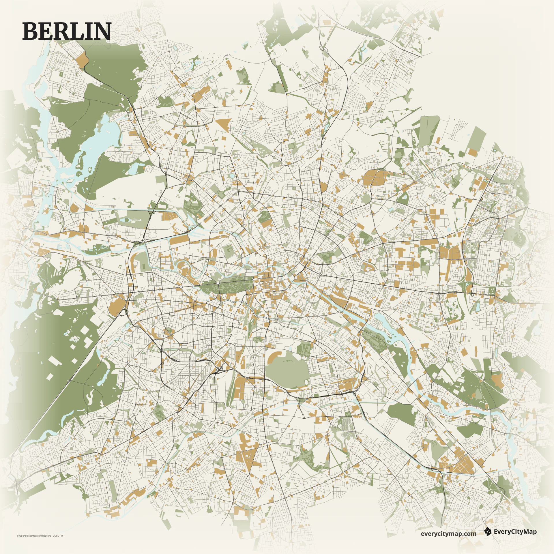
Three decisions that make this city recognizable before a label is added.
No single grid dominates the broad urban field.
Roads and rail lines connect distinct neighborhood fabrics.
Water and parks create essential pauses in the network.
Start with geography, then decide how much street detail the image can hold.
Major roads radiate between historic centers and outer districts, while ring routes and rail alignments create another layer of structure. Local streets vary sharply by neighborhood. Use strong primary routes sparingly so they connect the composition rather than dividing it into unrelated pieces.
The Spree curves through the center but is narrower than the Thames or Seine at the same citywide scale. Canals, lakes, Tiergarten, Tempelhofer Feld, and other open spaces therefore matter to the map's rhythm. Keeping selected non-road layers visible prevents Berlin from reading as an endless mesh.
Atlas is useful when water, green space, rail, and roads all contribute to the image. Ink creates a direct black-and-paper network, while Metro helps major routes connect the city's many centers. Berlin benefits from subtraction: mute minor roads until parks and waterways can create visible pauses in the network.
A wide Berlin frame works for a city-system graphic or comparison with other European capitals. A central crop can become a personal neighborhood or travel poster. Leave room for open spaces when exporting; their absence changes Berlin's map character more than removing a few minor streets.