River center
A sequence of bends and crossings anchors the compact historic city.
 Account
Czechia · Europe
Prague is a river-and-hill city whose historic street grain opens into bridges, radial roads, and outer grids. A sequence of bends and crossings anchors the compact historic city. The river curves tightly through the center and separates districts beneath surrounding hills. Together, these forms give the city a recognizable map structure before labels or landmarks are added.
Free to style and share · no account required
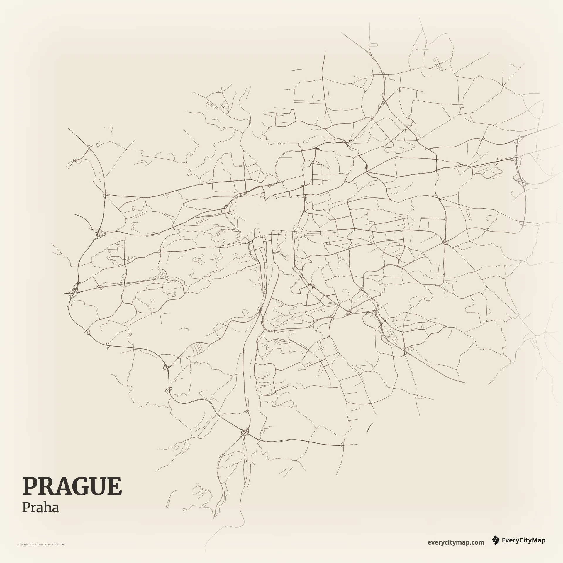
Three decisions that make this city recognizable before a label is added.
A sequence of bends and crossings anchors the compact historic city.
Tight central streets transition into larger routes shaped by valleys and hills.
The river curves tightly through the center and separates districts beneath surrounding hills.
Start with geography, then decide how much street detail the image can hold.
Tight central streets transition into larger routes shaped by valleys and hills. Begin with the strongest regional routes, then introduce local streets as a second level of texture. This keeps Prague's larger movement pattern visible and prevents dense areas from turning into one uniform field of lines.
The river curves tightly through the center and separates districts beneath surrounding hills. Treat vltava bends as part of the map hierarchy rather than leftover background. Preserve enough open space around it to separate districts, show direction, and keep the composition recognizable when the finished image is reduced.
Paper keeps dense street texture quiet enough for an editorial or travel print. Atlas balances roads, water, land, and open space in a natural geographic palette. Ink reduces the city to a direct, high-contrast network and land silhouette. Start with river center and vltava bends, then adjust the zoom so those two structures remain easy to read at the intended output size.
Prague works for a historic travel print, a river-city comparison, or a quiet editorial map. A compact square frame emphasizes river and center; a wider view reveals radial outer districts. Before export, preview the actual display or print size and adjust the framing until vltava bends and the main route hierarchy remain distinct.