Canal rings
Repeated curves make the center readable at small sizes.
 Account
Netherlands · Europe
An Amsterdam map is built from concentric canals, radial connections, the IJ waterfront, and a dense center surrounded by later districts. The canal belt creates an unusually clear pattern at small sizes, but it only works when water remains distinct from streets and the wider urban edge is not allowed to overwhelm it.
Free to style and share · no account required
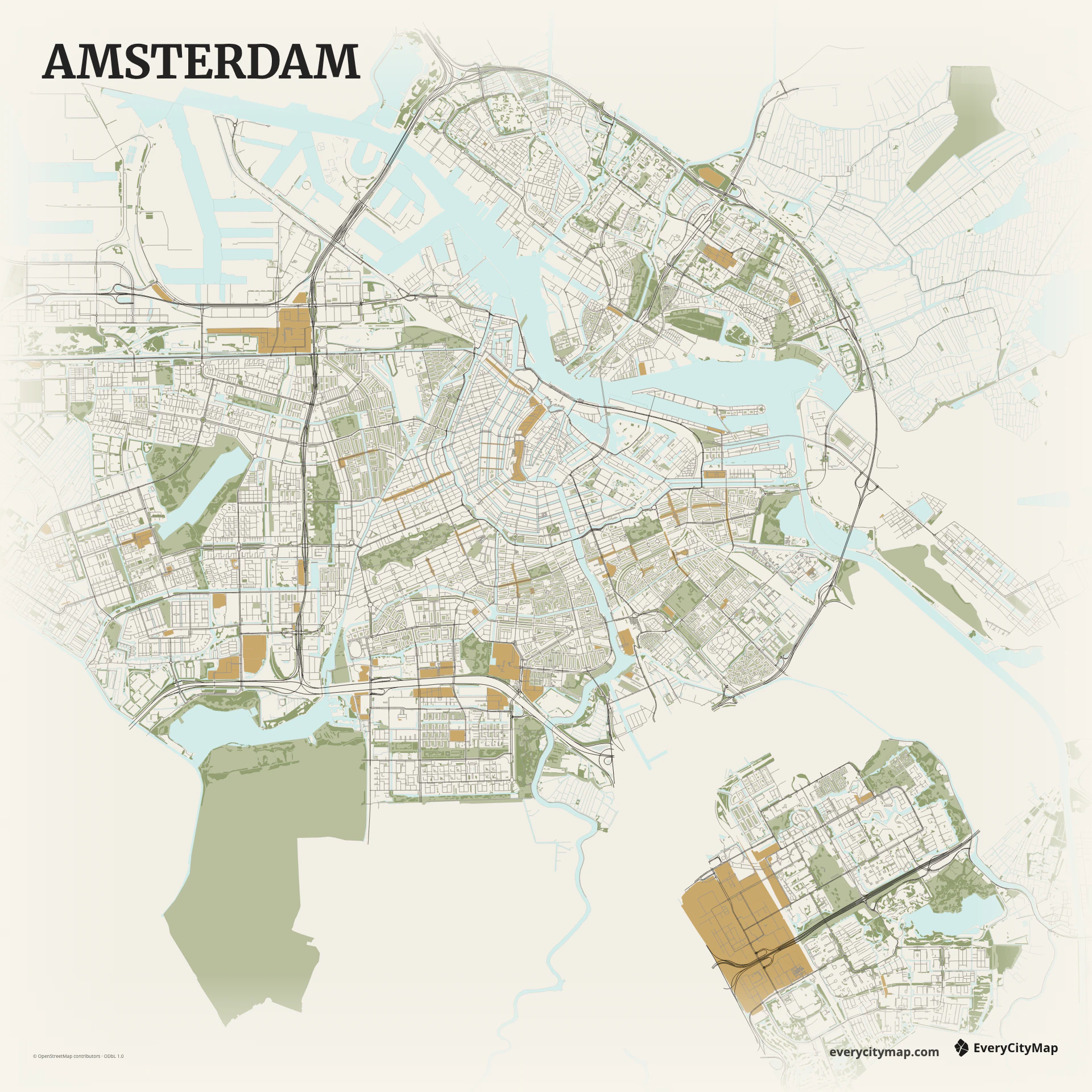
Three decisions that make this city recognizable before a label is added.
Repeated curves make the center readable at small sizes.
Crossing routes keep the canal pattern connected.
Broad water gives the narrow canals scale and direction.
Start with geography, then decide how much street detail the image can hold.
The historic canal rings form repeated curves around the center, crossed by radial streets and smaller waterways. Treat canals as a hierarchy rather than one uniform blue layer. The major rings should remain visible first, with narrow water and local streets adding detail only at closer viewing distances.
The IJ creates a broad horizontal opening north of the center, while docks, islands, and newer waterfront districts make the eastern edge more geometric. Keeping the IJ in frame prevents the canal belt from floating without context and gives the composition a useful contrast between broad and narrow water.
Atlas gives each water class a separate role and is the clearest analytical starting point. Paper suits a classic travel print, while Watercolor Atlas can turn the canal system into layered pigment. Do not strengthen every narrow canal equally; first establish the rings and the IJ, then add detail until the center feels rich without becoming noisy.
Amsterdam works as a travel keepsake, a cycling-related graphic, or a city-pattern study. A square crop balances canal rings and waterfront; a portrait crop can focus tightly on the historic center. At wallpaper scale, retaining some outer districts makes the small central rings feel more precise by contrast.