Lake base
The straight southern shore gives the city a clear orientation.
 Account
Canada · North America
A Toronto map is anchored by the straight Lake Ontario shore, the downtown grid, ravine systems, rail corridors, and a much broader suburban street network. The shoreline gives the composition a strong base, while north-south routes and green cuts reveal how the city grows away from the lake.
Free to style and share · no account required
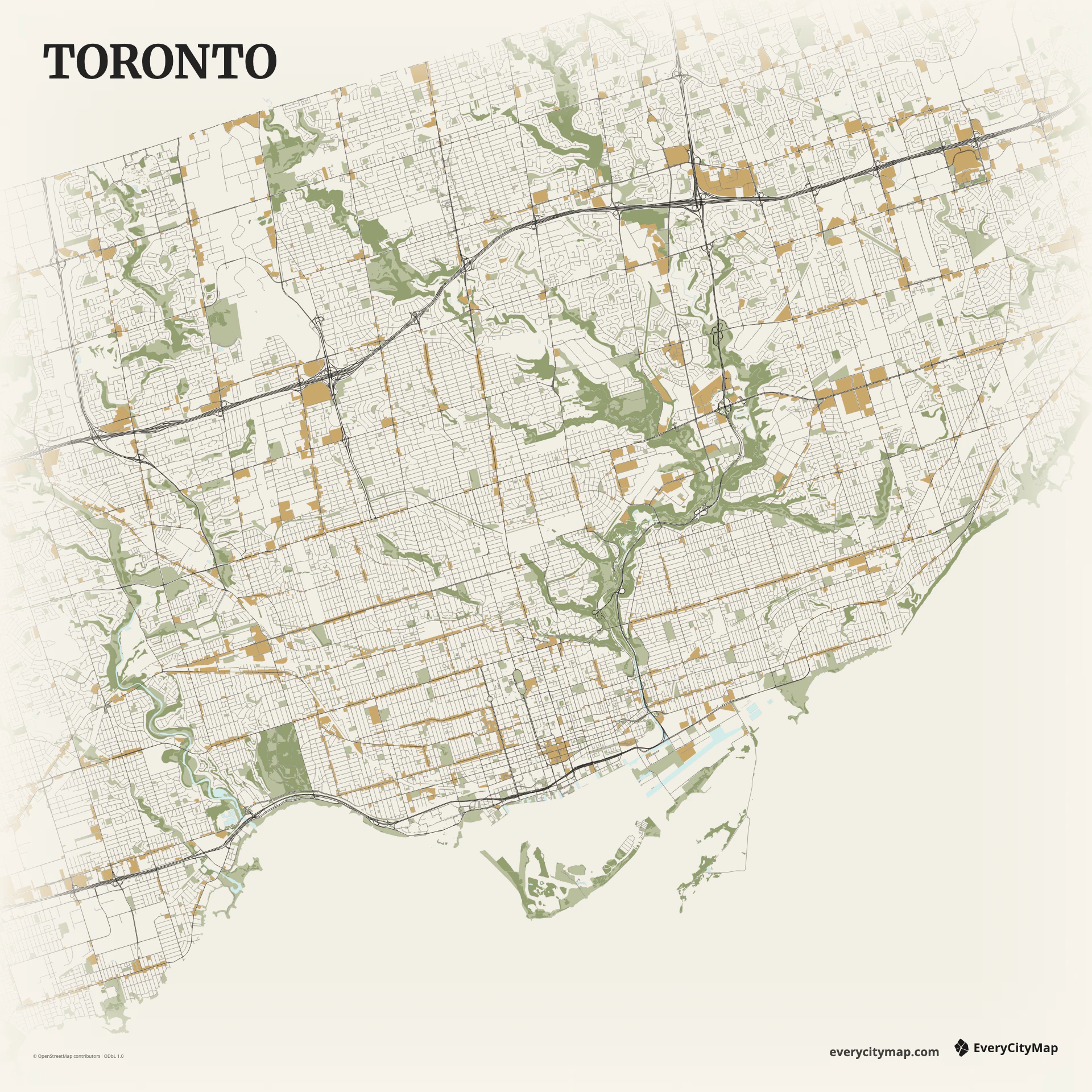
Three decisions that make this city recognizable before a label is added.
The straight southern shore gives the city a clear orientation.
Street scale changes steadily away from downtown.
Green and water gaps keep the network from becoming generic.
Start with geography, then decide how much street detail the image can hold.
Central Toronto combines a fine grid with several diagonal and curving routes. Farther out, larger blocks and arterial spacing become more prominent. Emphasize that change in scale instead of using one road weight across the whole frame; it helps the map move from dense core to metropolitan edge.
Ravines and tributaries cut through the street network toward Lake Ontario, creating narrow green gaps that are easy to lose. The harbour, islands, and waterfront infrastructure add a second layer of detail along the southern edge. Preserve selected green and water layers to keep the grid from feeling generic.
Atlas can preserve lake, ravines, green space, rail, and roads in one hierarchy. Paper makes a calm city print, while Metro clarifies the arterial structure. Keep the lake as a generous area rather than a thin border and use ravines as interruptions; together they make Toronto more specific than a simple grid map.
Toronto works as a waterfront travel image, an urban-form comparison, or a presentation background. A landscape frame follows the shore; portrait framing can connect downtown to northern districts. Check that the islands and ravine breaks remain visible at the final resolution.