Peninsula coast
An irregular land-water edge leads the composition.
 Account
Philippines · Asia
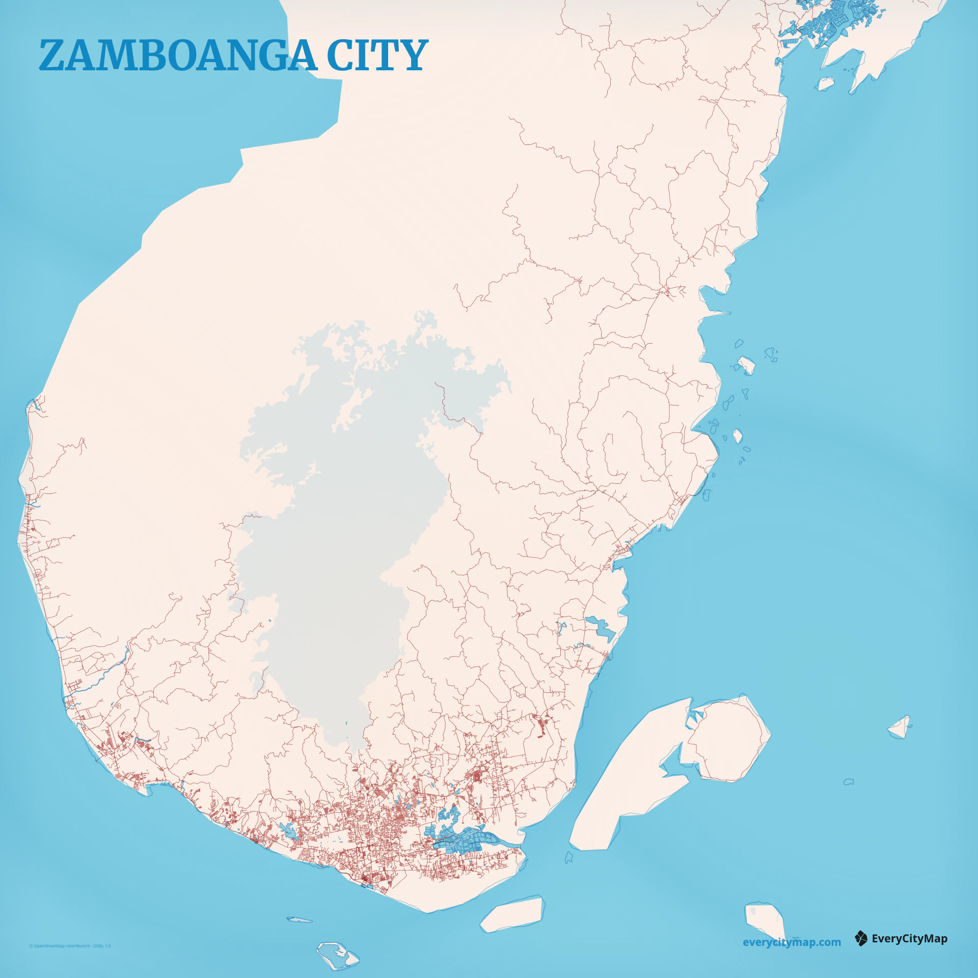
A Zamboanga City map combines a long, irregular peninsula coast with a concentrated urban center and roads extending into a much larger rural territory. Sea, bays, islands, and the narrow relationship between settlement and shoreline give the composition more identity than street density alone.
Free to style and share · no account required
Three decisions that make this city recognizable before a label is added.
An irregular land-water edge leads the composition.
Density falls away from the southern urban center.
Water gives the compact core wider geographic context.
Start with geography, then decide how much street detail the image can hold.
The central street network gathers around the southern tip and port, then thins into longer coastal and inland routes. Use that change in density as part of the design. If minor roads are equally strong everywhere, the transition between city core and wider peninsula becomes difficult to see.
An irregular shoreline creates coves, points, and offshore relationships at several scales. A broad frame can include more of the peninsula and nearby islands; a close frame focuses on the port and urban coast. In both cases, water should remain an active shape rather than a flat background color.
Watercolor Atlas is a natural fit when the sea should carry the composition. Atlas gives a clear contrast between coast, roads, and land, while Paper suits a quieter travel memory. Keep more open water than feels necessary in the editor; it gives the irregular coastline enough negative space at export size.
Use Zamboanga City for a travel memory, a coastal-city comparison, or a geography-led poster. Portrait framing can follow the peninsula, while landscape framing makes the sea and offshore context more prominent. Check that the urban center remains visible without losing the larger land-water relationship.