Branching harbor
Inlets and headlands divide the urban area repeatedly.
 Account
Australia · Oceania
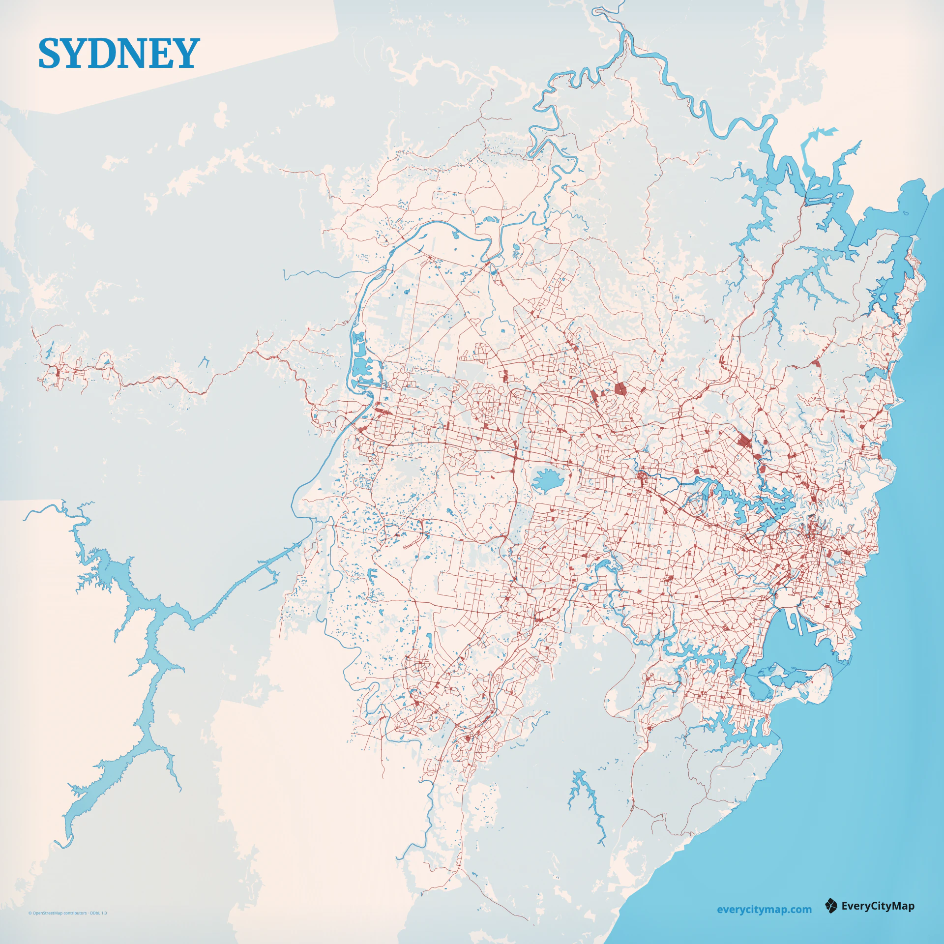
A Sydney map is dominated by water: the branching forms of Sydney Harbour, Parramatta River, Botany Bay, and the Pacific coast divide the urban area into peninsulas and bays. Roads and neighborhoods gain their shape from those edges, so water must be established before the street network is styled.
Free to style and share · no account required
Three decisions that make this city recognizable before a label is added.
Inlets and headlands divide the urban area repeatedly.
Roads gather around water and a few major crossings.
Water remains identifiable after streets are reduced.
Start with geography, then decide how much street detail the image can hold.
The harbour creates many narrow inlets and headlands, producing a fragmented urban texture with a small number of prominent crossings. Major routes connect around and across these obstacles. Give bridges and arterial approaches enough contrast to explain movement, but keep the shoreline stronger than individual roads.
The metropolitan network spreads far beyond the harbor core, changing from dense inner streets to larger suburban patterns. A citywide frame shows that scale change; a tighter frame can let the harbor become an intricate negative shape. Both approaches depend on careful simplification of local roads.
Watercolor Atlas can turn the branching harbor into the main visual event. Atlas gives precise control over water classes, coast, roads, and parks, while Night creates a luminous network around dark water. Keep smaller inlets visible; losing them turns Sydney Harbour into a generic bay.
Sydney is a strong travel print, river-and-harbor comparison, or wide wallpaper. Landscape framing follows the harbor and coast, while a square crop balances north and south shores. At social size, show fewer streets and more shoreline so the geography stays recognizable.