Bay + ridges
Water and steep terrain divide the city into visually separate zones.
 Account
Brazil · South America
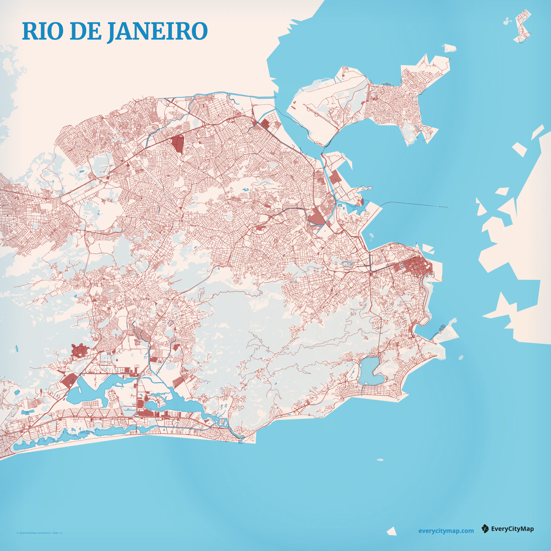
Rio de Janeiro is a coastal map in which mountains and water separate neighborhoods into distinct corridors. Water and steep terrain divide the city into visually separate zones. The bay and lagoon create large water openings between steep urbanized ridges. Together, these forms give the city a recognizable map structure before labels or landmarks are added.
Free to style and share · no account required
Three decisions that make this city recognizable before a label is added.
Water and steep terrain divide the city into visually separate zones.
Major routes follow beaches, valleys, and tunnels rather than a continuous citywide grid.
The bay and lagoon create large water openings between steep urbanized ridges.
Start with geography, then decide how much street detail the image can hold.
Major routes follow beaches, valleys, and tunnels rather than a continuous citywide grid. Begin with the strongest regional routes, then introduce local streets as a second level of texture. This keeps Rio de Janeiro's larger movement pattern visible and prevents dense areas from turning into one uniform field of lines.
The bay and lagoon create large water openings between steep urbanized ridges. Treat guanabara bay as part of the map hierarchy rather than leftover background. Preserve enough open space around it to separate districts, show direction, and keep the composition recognizable when the finished image is reduced.
Watercolor Atlas gives coast, rivers, and open land a softer hierarchy. Atlas balances roads, water, land, and open space in a natural geographic palette. Night turns major roads and crossings into a screen-first luminous structure. Start with bay + ridges and guanabara bay, then adjust the zoom so those two structures remain easy to read at the intended output size.
Rio works for a coastal travel image, a terrain study, or a dramatic city wallpaper. A landscape frame can connect bay, lagoon, and ocean; a closer crop should keep a mountain gap. Before export, preview the actual display or print size and adjust the framing until guanabara bay and the main route hierarchy remain distinct.