River + islands
The Seine creates a detailed focal point at the center.
 Account
France · Europe
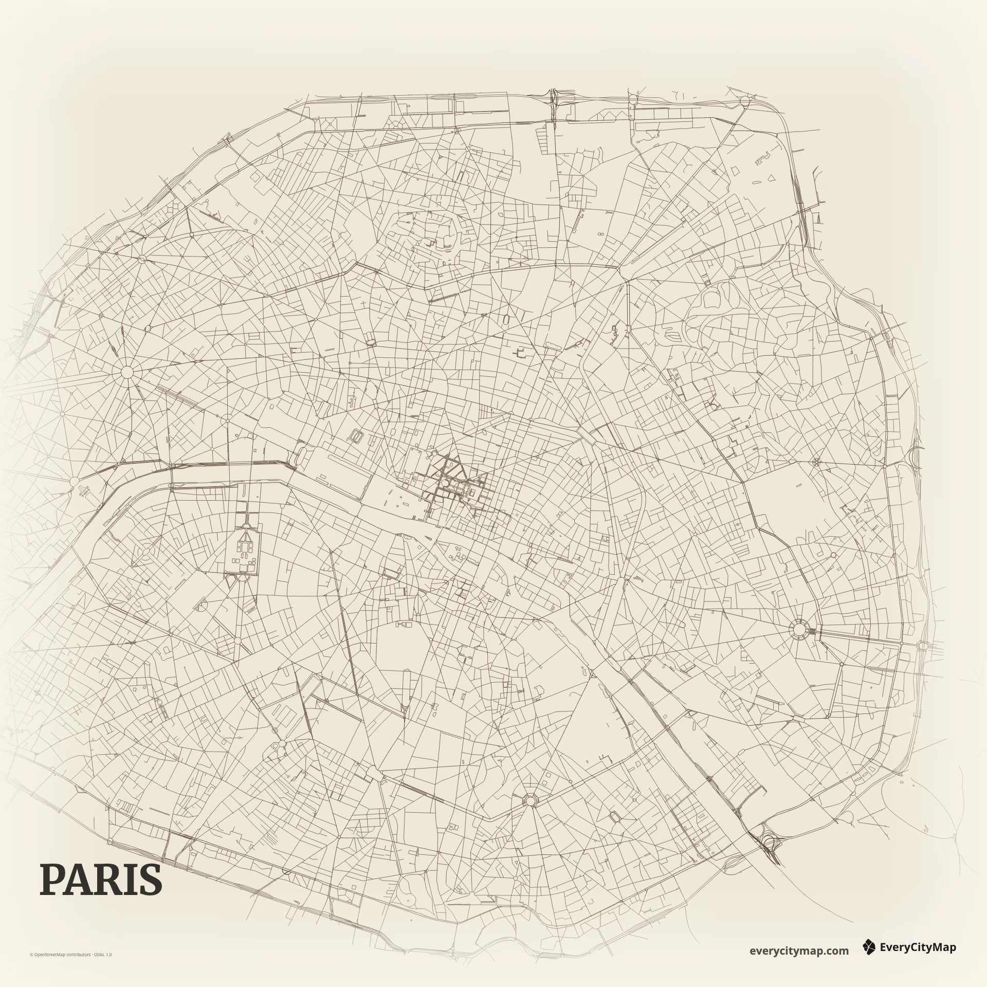
A custom Paris map combines the Seine with a dense pattern of avenues, boulevards, and neighborhood streets. The river divides the Right Bank and Left Bank, while the Île de la Cité and Île Saint-Louis create a detailed center. The city's compact frame rewards careful hierarchy more than maximum road density.
Free to style and share · no account required
Three decisions that make this city recognizable before a label is added.
The Seine creates a detailed focal point at the center.
Long boulevards cross finer historic neighborhoods.
Both banks remain distinct even in a compact crop.
Start with geography, then decide how much street detail the image can hold.
Paris mixes long, direct boulevards with radial intersections and smaller streets that turn through older neighborhoods. The result is neither a strict grid nor a random web. Give the major avenues enough contrast to reveal the larger geometry, then soften local roads so the pattern does not overwhelm the river and islands.
The twenty arrondissements form a familiar administrative spiral, but street geometry and water are usually more useful in a visual map than drawing every district boundary. The Seine's crossings connect the two banks through the center, and the islands create a natural focal point without requiring a landmark icon.
Paper complements the fine street texture and leaves room for a personal title. Ink creates a stronger graphic silhouette, while Metro is useful when major routes should lead the composition. Keep the islands and both riverbanks distinct; they provide the visual pause that stops central Paris from becoming one block of lines.
Paris works well for a travel keepsake, a gift image, or a minimal editorial background. A central crop can focus on the Seine and islands, while a wider frame reveals the radial structure of the city. Check smaller exports carefully: a restrained road hierarchy often looks more recognizably Parisian than showing every street equally.