Basin network
Many centers spread between coast, hills, and open land.
 Account
United States · North America
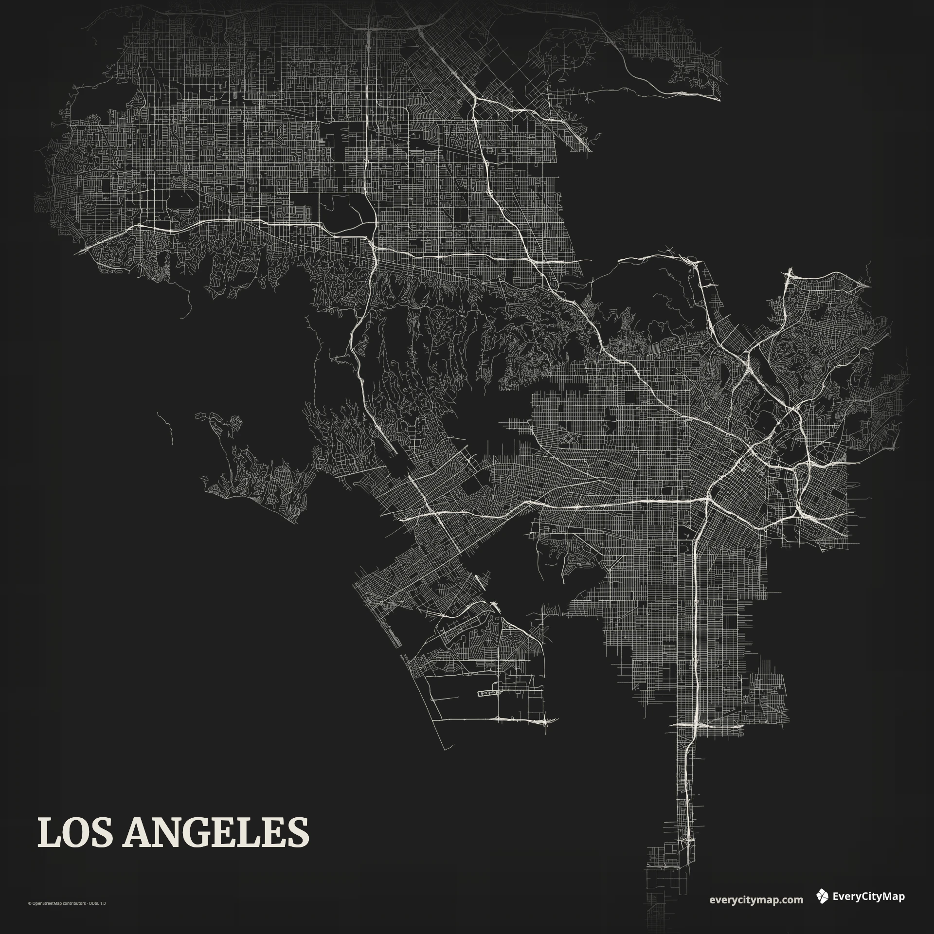
A Los Angeles map is a vast basin network rather than one compact center. Freeways, long arterials, multiple downtowns, foothills, the Los Angeles River, and the Pacific edge create a layered field whose scale is difficult to show without a deliberate road hierarchy.
Free to style and share · no account required
Three decisions that make this city recognizable before a label is added.
Many centers spread between coast, hills, and open land.
Regional routes organize several local street systems.
Hills and coast give the immense network readable limits.
Start with geography, then decide how much street detail the image can hold.
Freeways form the clearest structural layer, crossing grids that change direction and density between communities. Start with those regional connections, then choose a smaller set of arterials before adding local roads. A map that displays every street equally hides the polycentric structure under visual noise.
Mountains and hills interrupt the urban fabric to the north and through several interior areas, while the coast creates a long western boundary. The river is narrower and more engineered than many city-defining waterways, so it benefits from explicit contrast. Open land and topographic gaps should remain part of the composition.
Night turns the freeway network into a dramatic wallpaper, while Metro distinguishes major routes from the surrounding grid. Atlas is the better choice when coast, river, parks, and open land matter. Reduce local streets aggressively for citywide views; Los Angeles looks larger and clearer when its main systems have room to breathe.
Use a wide Los Angeles frame for a regional network graphic or wallpaper. A closer crop can focus on one personal area while retaining a freeway or geographic edge for context. Before exporting a small image, confirm that freeways form a connected system instead of dissolving into the local grid.