Rings + water
Road loops meet a much broader southern lake system.
 Account
China · Asia
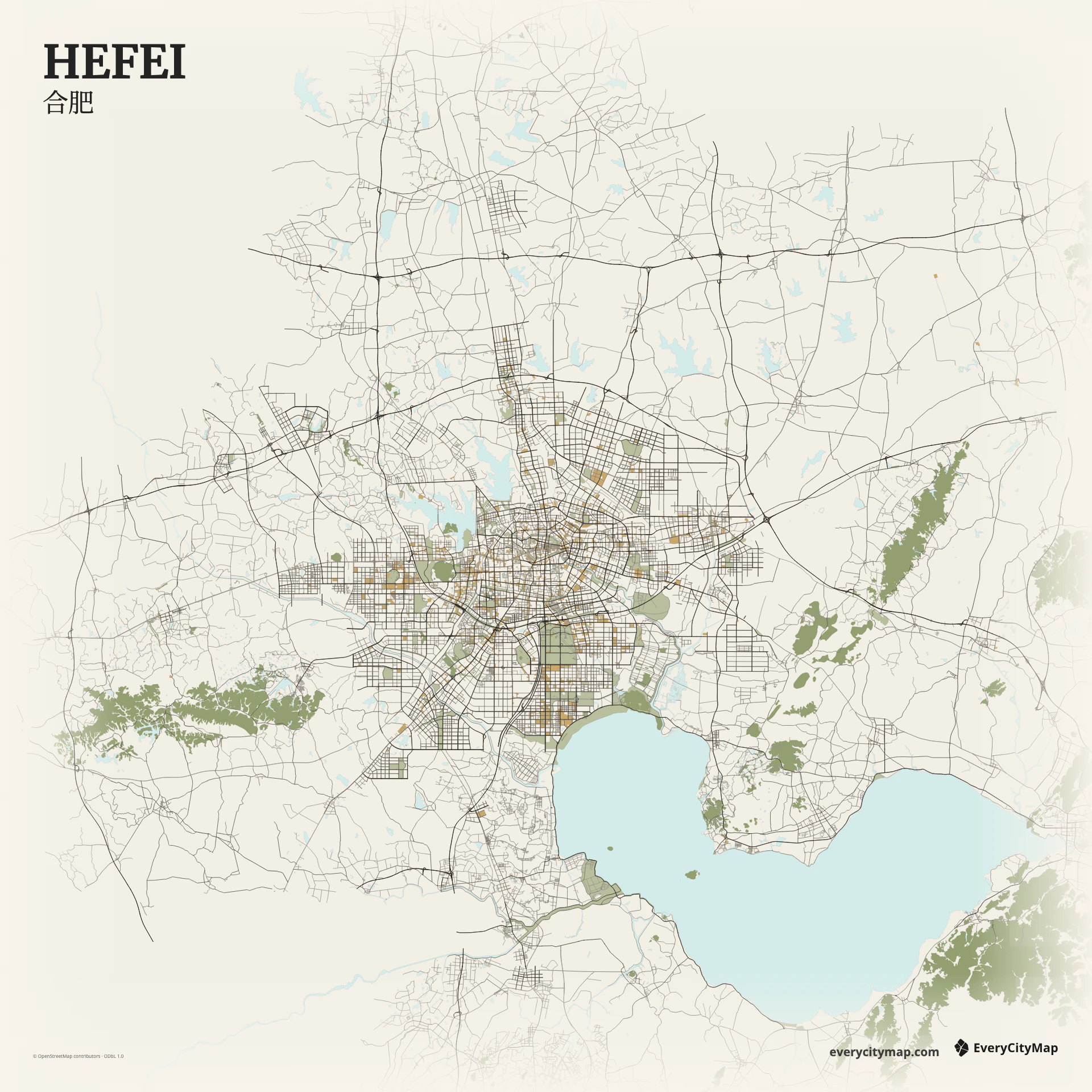
A Hefei map is shaped by a rapidly expanded road network around an older center, with large lakes and water systems becoming more important toward the south. Ring roads, broad arterials, new districts, and irregular historic streets create several scales of urban texture in one frame.
Free to style and share · no account required
Three decisions that make this city recognizable before a label is added.
Road loops meet a much broader southern lake system.
Fine central streets shift into larger planned blocks.
Water distinguishes a regional view from a center-only crop.
Start with geography, then decide how much street detail the image can hold.
The central network is finer and less regular, while newer areas use wider blocks and stronger arterial lines. Ring and radial roads help reveal that expansion. Give them enough contrast to organize the map, then use minor roads as texture rather than letting them fill every open space.
Water becomes a larger compositional force toward Chaohu and the connected lake system. A citywide frame can show the relationship between dense urban growth and the broad water edge; a central crop instead emphasizes rings and districts. These two readings produce very different, but equally useful, Hefei maps.
Atlas works when lakes, green areas, and different road classes all matter. Metro makes the ring-and-radial structure easier to read, while Paper softens the dense central texture. Decide whether the composition is about the city center or the city-water relationship before tuning detail; trying to emphasize both equally can flatten the hierarchy.
Use a citywide Hefei frame for an urban-growth or city-comparison graphic. A tighter crop works for a personal travel image or presentation background. For small social exports, reduce local roads until the rings and water edges remain the first elements visible.