Urban field
Dense neighborhoods continue into the larger metropolis.
 Account
Mexico · North America
An Ecatepec map reads as part of the continuous Mexico City metropolis, yet its own shape is strongly influenced by the Sierra de Guadalupe, major highways, and dense neighborhoods on the northeastern side of the valley. The challenge is to show urban continuity without turning the map into an undifferentiated field of streets.
Free to style and share · no account required
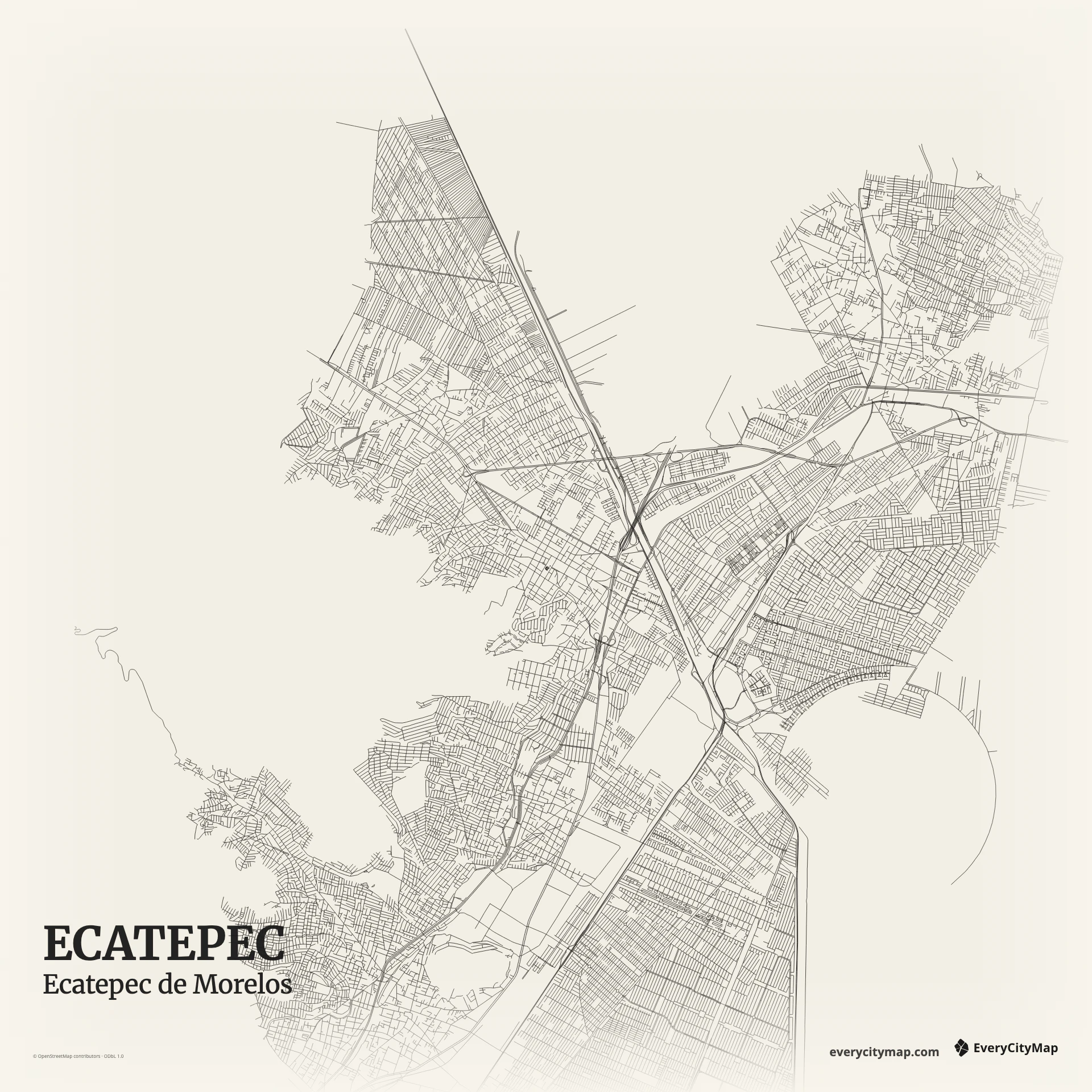
Three decisions that make this city recognizable before a label is added.
Dense neighborhoods continue into the larger metropolis.
Major corridors must be separated from local street texture.
Open land interrupts the network on the western side.
Start with geography, then decide how much street detail the image can hold.
Dense local roads create a fine, almost woven texture. Larger north-south routes and the edges of the municipality provide the structure needed to read it. Separate those scales clearly: the major corridors should guide the eye, while local streets explain density only after the larger pattern is understood.
The Sierra de Guadalupe interrupts the urban fabric and gives the western side a different edge from the flatter metropolitan areas. Green or relief-related layers can make that contrast legible. Even without terrain shading, leaving space around non-street areas helps the city avoid becoming one solid block.
Ink turns Ecatepec's street density into a strong graphic texture. Metro is better when major corridors should lead, while Atlas can preserve open land and green areas around the urban network. Start with Standard detail for social images; add more roads only when the final output is large enough to hold them.
Ecatepec is useful for a metropolitan comparison, an urban-pattern study, or a local poster centered on a familiar district. A wider frame can explain its relationship to the Valley of Mexico; a tighter crop makes neighborhood density the subject. Always preview the final size, because thin roads merge quickly in a compact export.