Coastal corridor
Urban development runs along the Gulf rather than one center.
 Account
United Arab Emirates · Asia
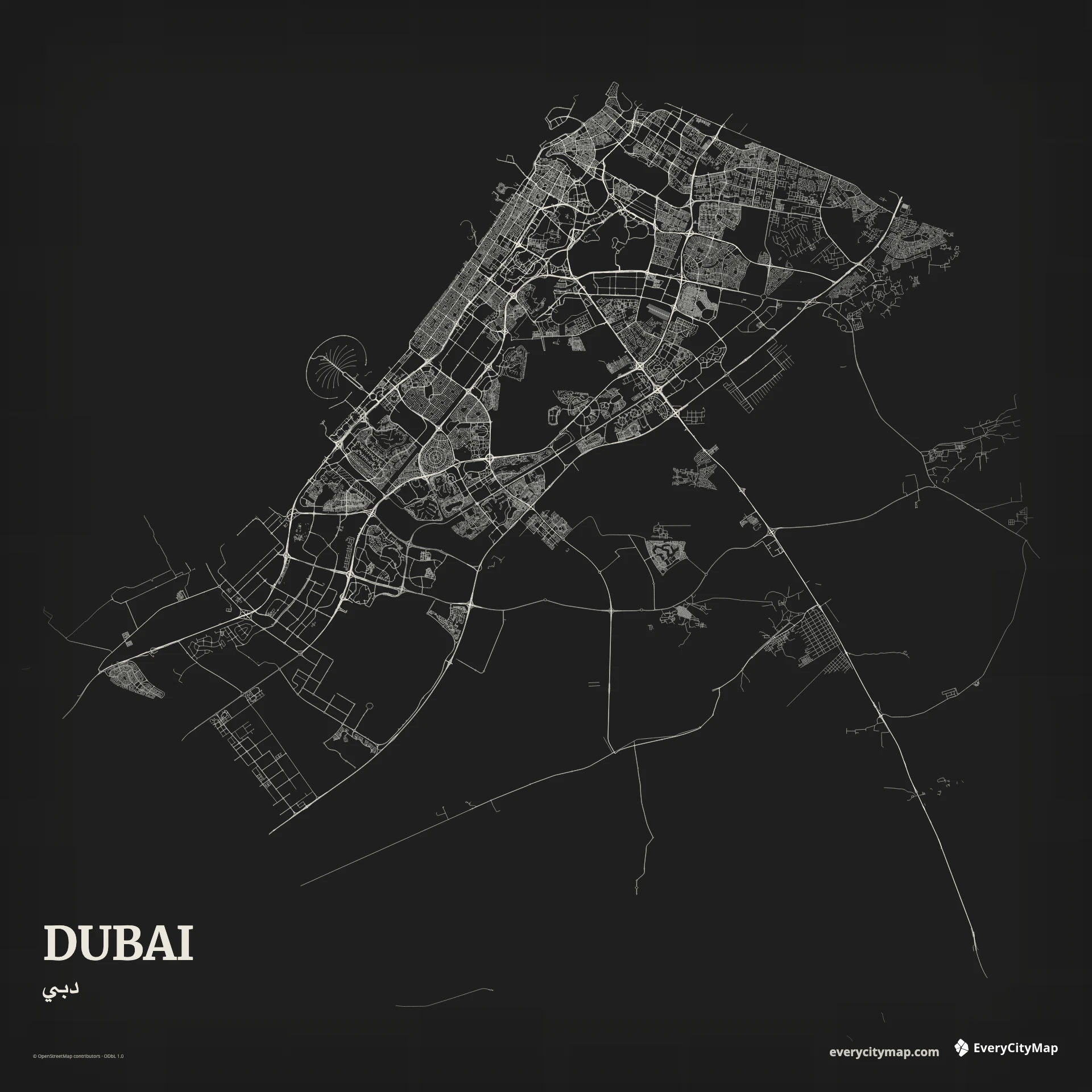
A Dubai map is a long coastal composition shaped by rapid urban expansion, broad highways, creek and canal water, artificial islands, and large gaps between development corridors. Its identity comes from the contrast between engineered geometry and open desert rather than from a dense traditional street field.
Free to style and share · no account required
Three decisions that make this city recognizable before a label is added.
Urban development runs along the Gulf rather than one center.
Large interchanges connect separated district networks.
Creek, canals, and artificial shores create distinct forms.
Start with geography, then decide how much street detail the image can hold.
Sheikh Zayed Road and parallel corridors form a strong linear spine, with large interchanges and branching roads serving distinct districts. Make that hierarchy visible before adding local streets. The open spaces between corridors are part of the pattern and should not be filled simply to make the map look denser.
Dubai Creek, the canal, marina basins, and artificial shore forms introduce different kinds of water geometry. A wide coastal frame can hold several of them; a closer crop should pick one water system as its anchor. Keeping the Gulf visible gives the engineered shoreline a clear reference edge.
Night emphasizes highways, interchanges, and waterfront geometry for a screen-first image. Atlas is better for separating sea, built land, roads, and open areas, while Ink creates a minimal infrastructure diagram. Do not treat empty land as missing data; it is essential negative space in Dubai's urban pattern.
Dubai is well suited to an infrastructure graphic, a dark wallpaper, or a coastal-city comparison. A panoramic crop follows the development corridor; a portrait crop can connect inland roads to the Gulf. Verify that interchanges remain shapes rather than bright knots at the final size.